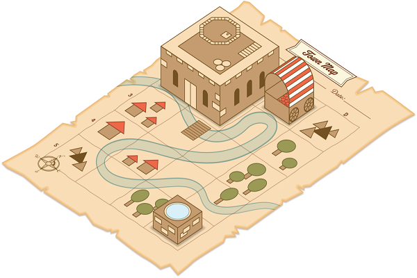
2D Drawing Map
2D Drawing Map
Creating a 2D Drawing Map involves crafting a detailed representation of a layout, often used in architectural, urban planning, engineering, or site design projects. These maps are typically drawn to scale and provide a clear visual of structures, spaces, and key elements of a specific area.

Steps to Create a 2D Drawing Map
1. Define the Purpose and Scope
- Purpose: Identify whether the map is for a building layout, site plan, urban design, or another purpose.
- Scale: Decide on a scale (e.g., 1:100, 1:500) to ensure accuracy.
- Elements: Determine what features to include (e.g., roads, buildings, vegetation, utilities).
2. Gather Reference Data
- Collect site measurements or survey data.
- Use satellite images, GIS data, or existing plans for reference.
- Take photographs for context.
3. Choose Tools and Software
- Software: AutoCAD, Adobe Illustrator, SketchUp (2D mode), or GIS tools like QGIS.
- Hardware: Pen and paper (for sketching) or digital drawing tablets.
4. Start with a Base Layer
- Boundary Lines: Draw property boundaries or site limits.
- Orientation: Include a compass rose and scale bar.
- Grid Lines: Add gridlines if necessary for alignment and accuracy.
5. Add Features and Details
- Buildings and Structures:
- Represent with solid lines for walls and dashed lines for hidden elements.
- Roads and Pathways:
- Use consistent line weights or patterns (e.g., dashed for pedestrian paths).
- Natural Features:
- Represent trees, rivers, or terrain contours with appropriate symbols or patterns.
- Utilities:
- Add water, electrical, and drainage systems with specific icons.
6. Label and Annotate
- Add names, dimensions, or other identifying details.
- Include legends for symbols and color codes.
7. Finalize with Aesthetics
- Use consistent line weights and colors.
- Ensure clarity with a clean layout and proper alignment.
- Add a title block with project information (e.g., client name, date, author).
pplications of 2D Drawing Maps
- Architectural Layouts: Floor plans and site layouts for buildings.
- Urban Planning: City zoning maps or traffic layouts.
- Engineering: Infrastructure layouts like bridges or drainage systems.
- Landscaping: Garden or park designs.
Tips for Accuracy and Clarity
- Always work to scale for precision.
- Use layers in software to separate different map components (e.g., roads, buildings, utilities).
- Validate against reference data to avoid errors.
Working With The Best
Our Partners


